The Route
what3words for start point: ///vineyards.subsets.pronouns
Start Point: Horton-in-Ribblesdale, North Yorkshire, BD24 0HE
Finish Point: Same as start point (circular walk)
Distance: Approximately 24 miles (38.6 kilometres)
Walk Description
Starting Point: Horton-in-Ribblesdale, North Yorkshire, BD24 0HE
Key Highlights:
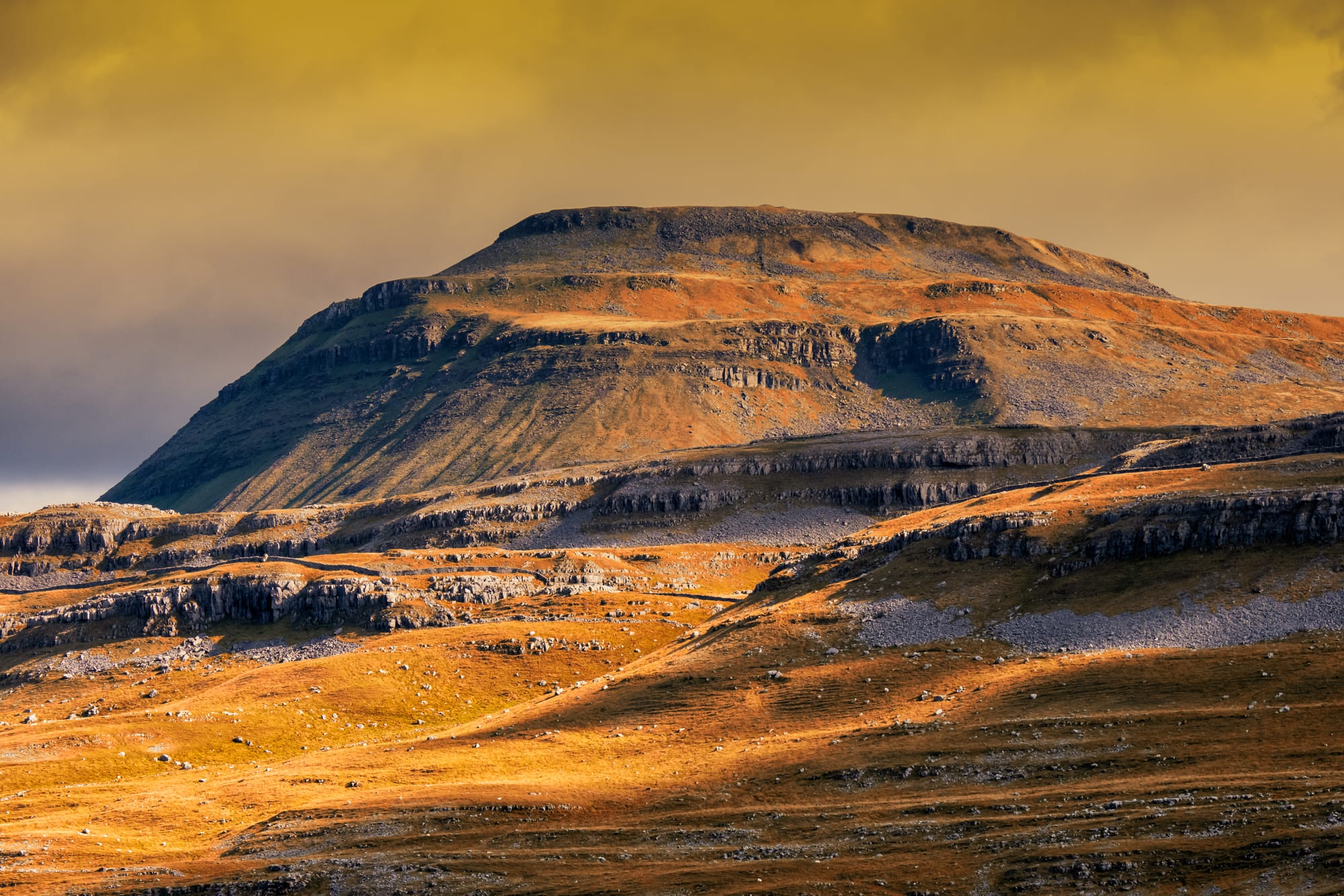
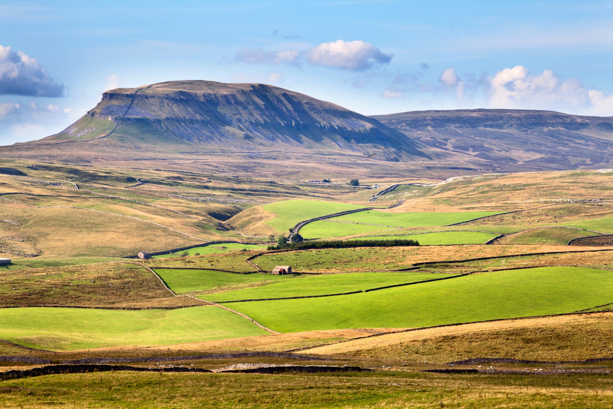
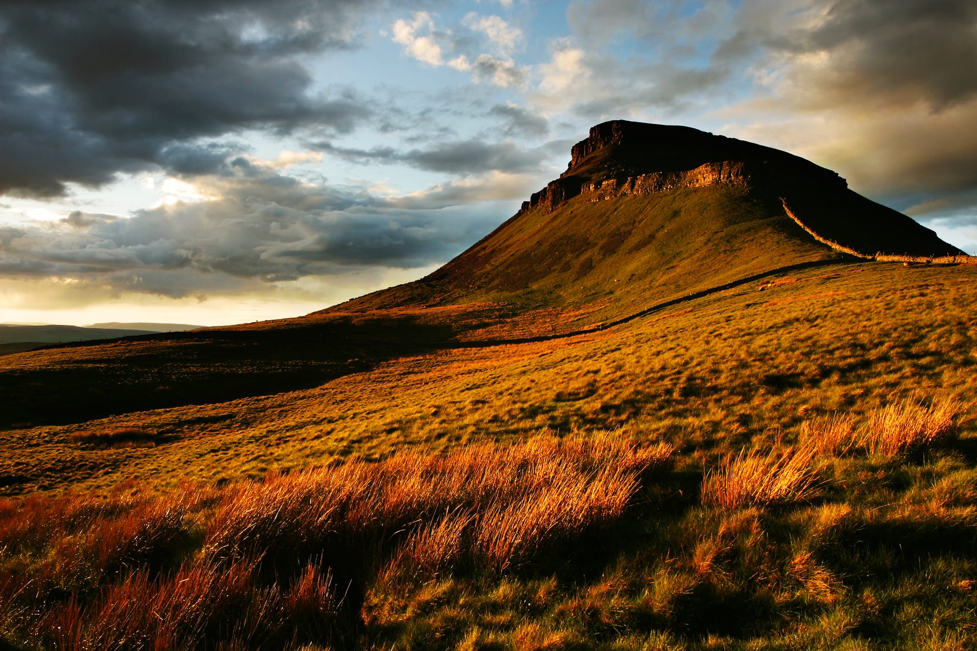
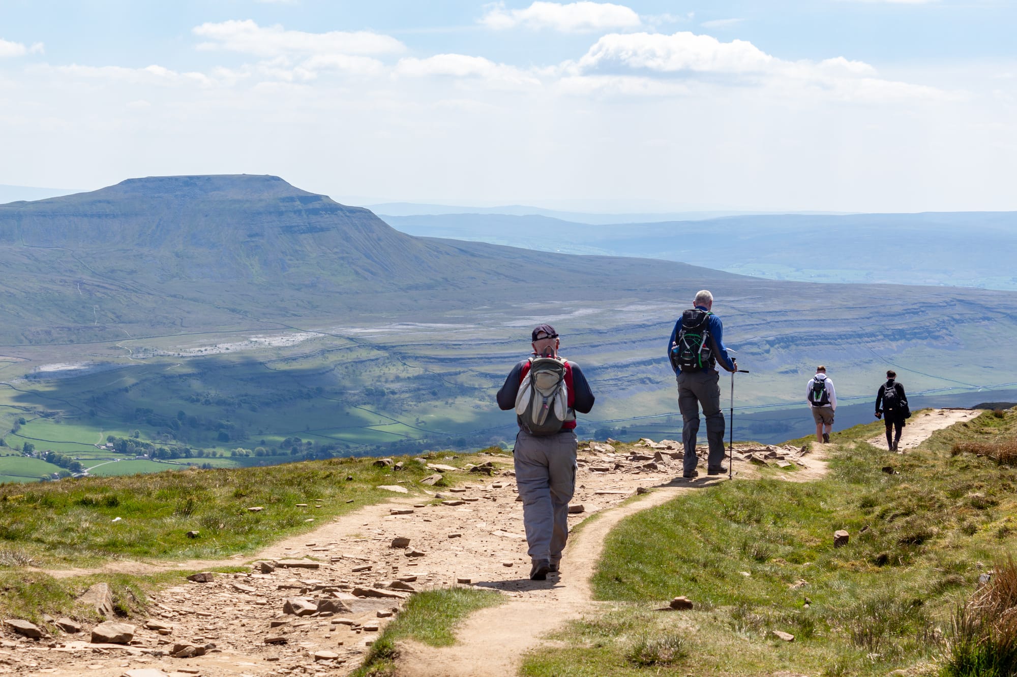
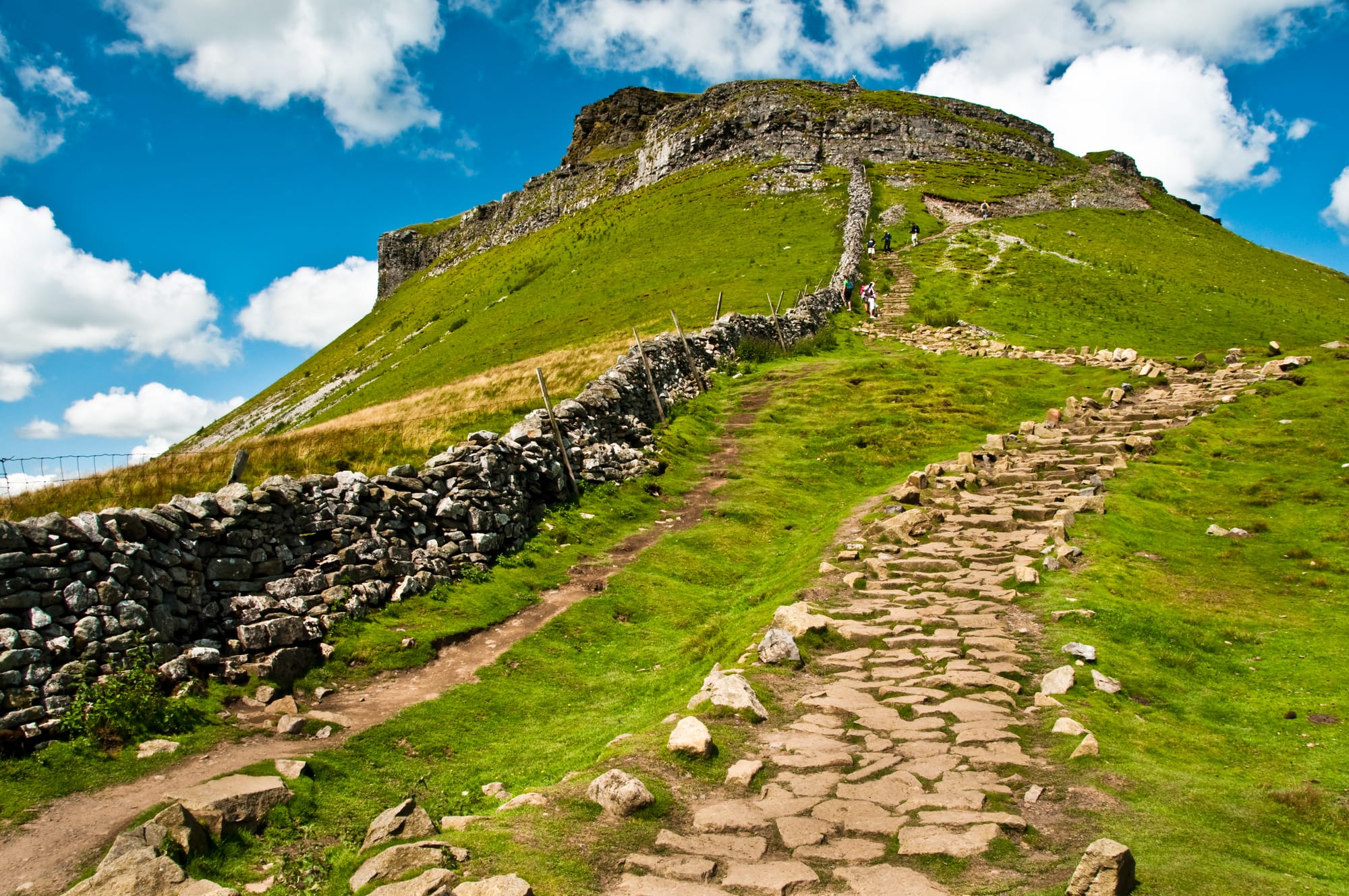
- Pen-y-Ghent: The first peak, standing at 694 meters, offering stunning views after a steep ascent.
- Whernside: The highest peak at 736 meters, with a more gradual ascent and panoramic views including Morecambe Bay and the Irish Sea.
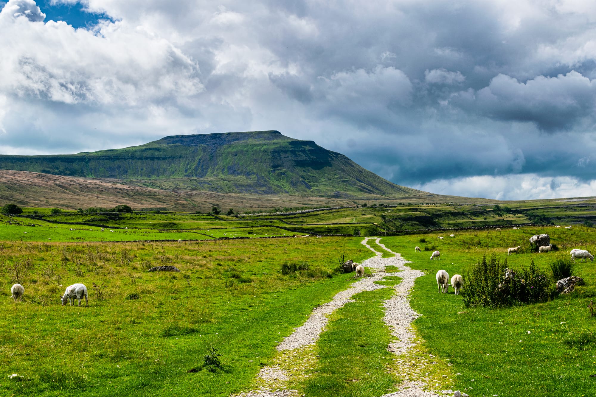
- Ingleborough: The final peak at 723 meters, known for its steep climb and flat summit, providing spectacular vistas.
End Point: Horton-in-Ribblesdale
Practical Information
Distance: Approximately 24 miles (38.6 kilometres)
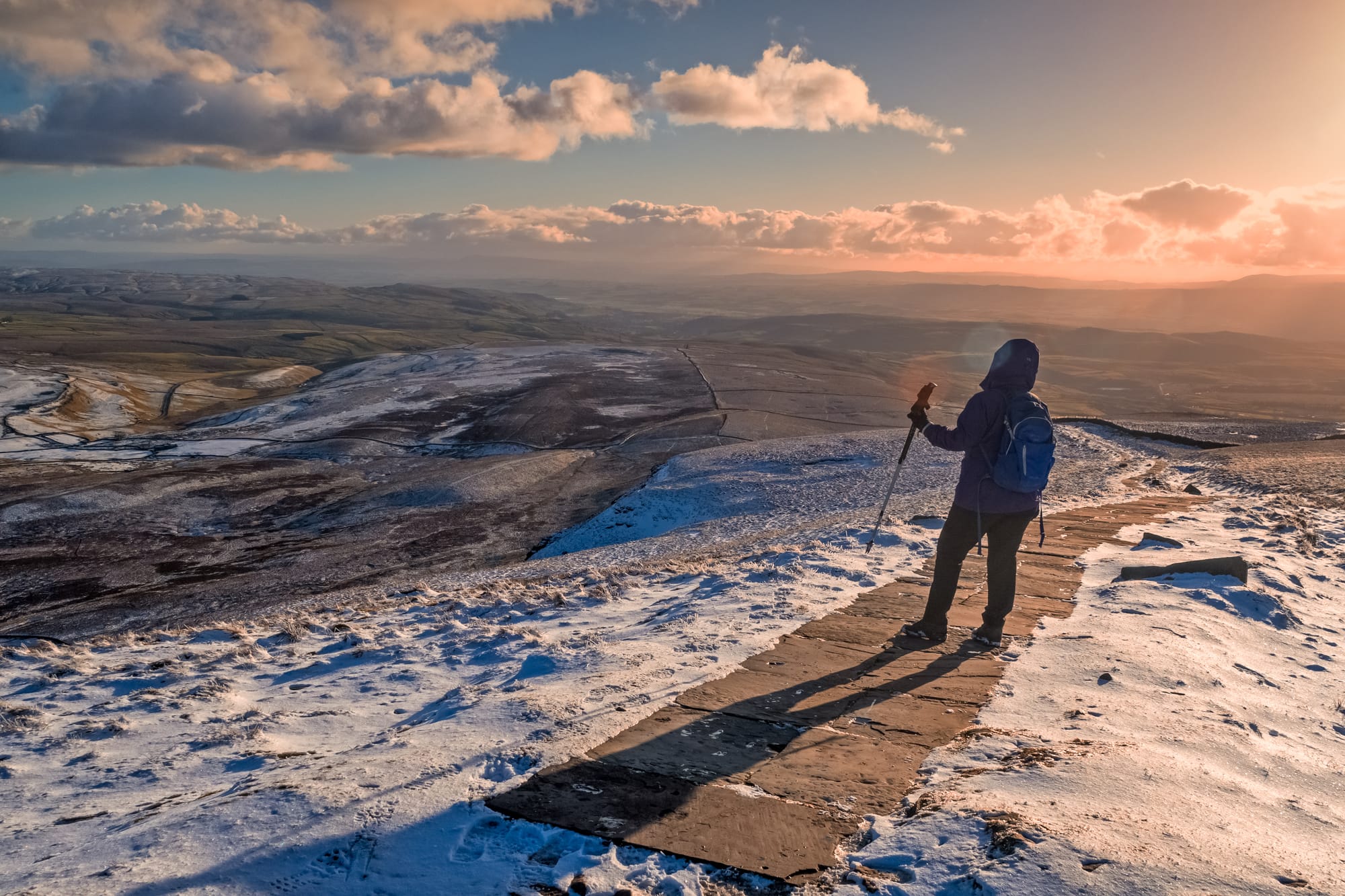
Difficulty: Strenuous – involves significant ascent and descent over varied terrain.
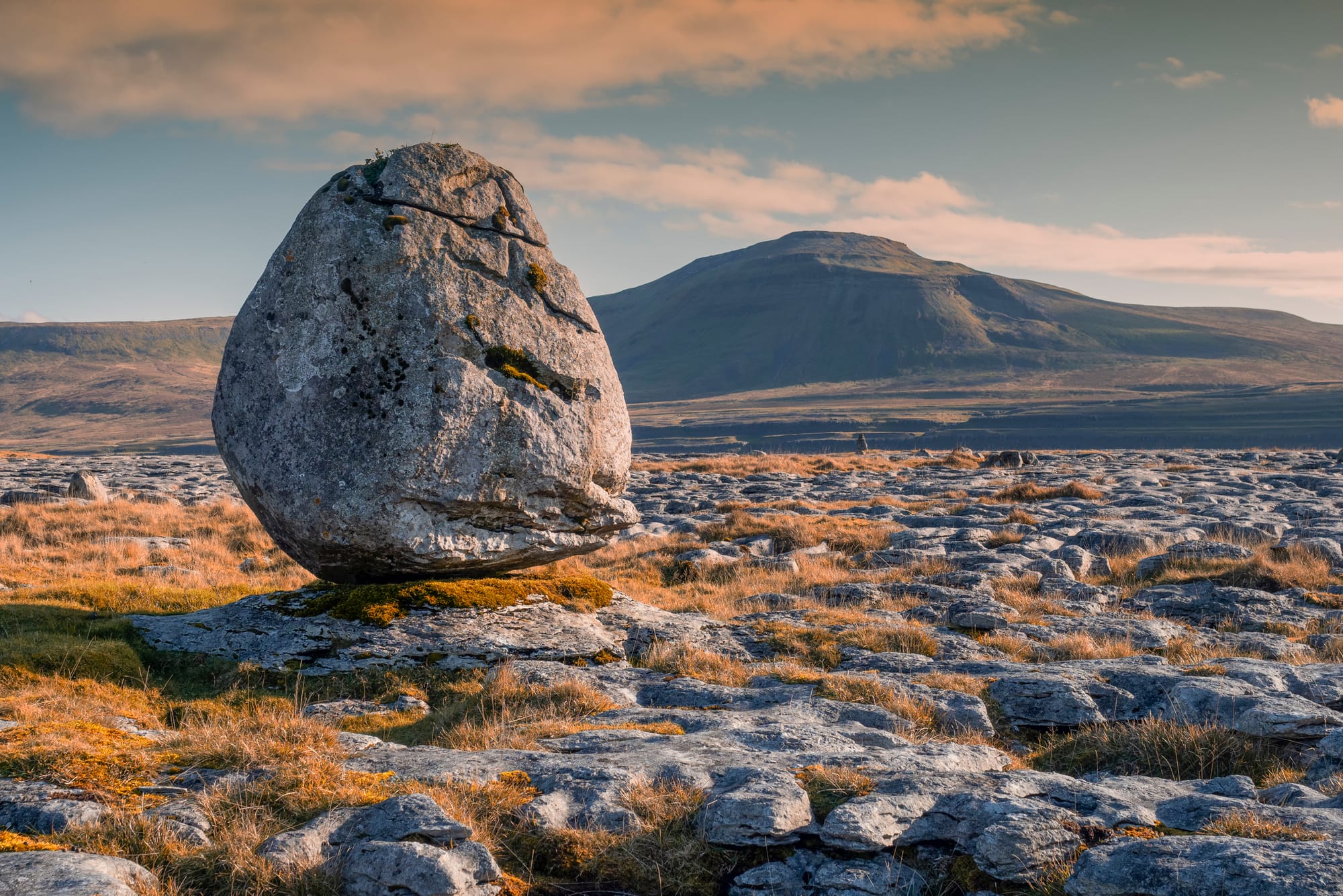
Terrain: Mixed terrain including rocky paths, grassy fields, and steep ascents. Paths can be muddy in wet conditions.
Access:
- By Car: Parking is available in Horton-in-Ribblesdale.
- Public Transport: Horton-in-Ribblesdale is accessible by train, facilitating easy access to the start point without a car.
Gallery


Tips for Walkers
Footwear: Sturdy, waterproof walking boots are essential due to the rocky and sometimes muddy paths.
Supplies: Bring ample water, snacks, and a packed lunch. There are limited opportunities to refill water along the route.
Navigation: Carry a map (OS Explorer OL2) and a compass, and know how to use them. A GPS device is also useful, but should not be solely relied upon.
Weather: Be prepared for changing weather conditions, even in summer. Carry waterproof clothing, warm layers, and a hat and gloves.
The Yorkshire Three Peaks walk is a challenging and rewarding circular route covering 24 miles and climbing over 1,585 meters across the three highest peaks in the Yorkshire Dales.
Starting in Horton-in-Ribblesdale, this walk takes you up Pen-y-Ghent, Whernside, and Ingleborough, offering breathtaking views and a sense of achievement.
This walk is ideal for experienced hikers looking for a strenuous day out in the beautiful Yorkshire Dales National Park!